Updated on February 10, 2024 by Julie McCool
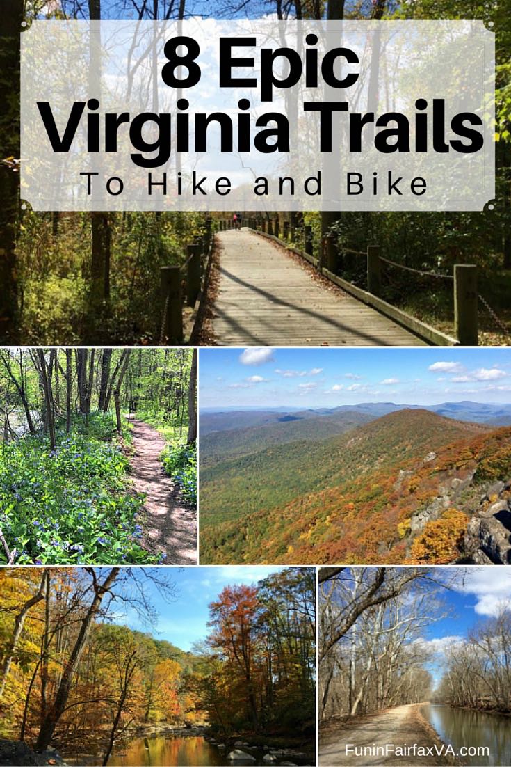
These 8 epic Virginia trails offer gorgeous scenery, interesting history, and a variety of hike and bike options, all within 2 hours of Washington DC. Virginia’s rich and diverse terrain offers a trail for every fitness level. Our list includes level, easy paths, and steep, challenging trails.
These epic Virginia trails range in length—from the 18-mile Mount Vernon trail to the 548 miles of Appalachian Trail in the state. However, we’ve suggested several short to moderate segments perfect for a quick outing, a family hike, or a great Virginia day trip.
Explore more: 15 Northern Virginia Bike Trails for Paved / Mountain Biking Near DC
Epic Virginia Trails to Hike
The first 4 of the epic trails in Virginia are primarily for hikers. The terrain on these trails is mostly dirt with rocky sections and ranges from easy, level walks to challenging climbs.
1. The Appalachian Trail in Virginia
554 miles of the Appalachian Trail pass through Virginia, more than any other state. In fact, Virginia includes about 25% of the famous footpath from Georgia to Maine. With so many miles of the pathway to choose from, it’s easy to sample the AT on a short outing or a multi-day adventure.
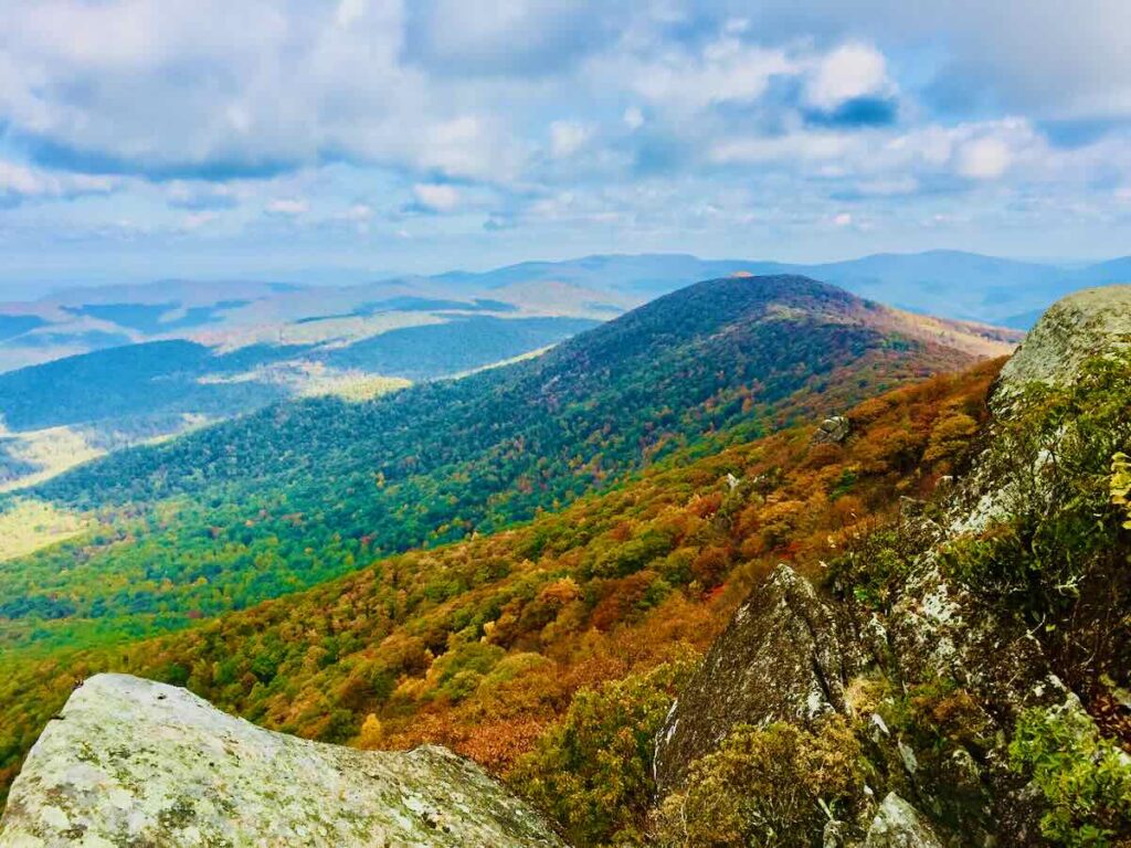
One of the most popular places to hike the Appalachian Trail is Shenandoah National Park. If you’ve ever driven Skyline Drive, you’ve crossed the AT many times, even if you never left your car.
Ready to tackle a multi-day hike? An inn-to-inn AT hike in Shenandoah connects beautiful sections of the trail with a warm bed at night.
Alternatively, the Central District of Shenandoah National Park offers easy access to several nice day hikes on the AT.
- Little Stony Man and Stony Man Summit are beautiful rock outcroppings and viewpoints that are easy to reach from Skyline Drive.
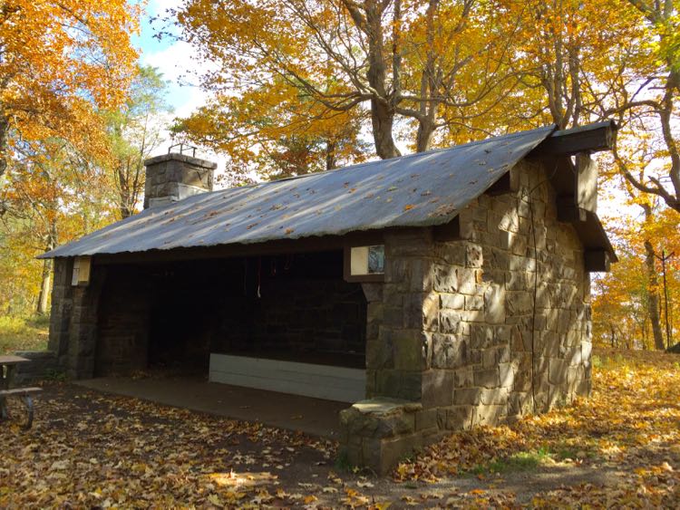
- For a longer hike, follow the AT from Jewell Hollow to Mary’s Rock. The moderately challenging 7-mile roundtrip features beautiful views. You’ll pass the Byrd’s Nest Hut and may see thru-hikers on the trail.
- Other short AT hikes to viewpoints include North Marshall, South Marshall, and Hogback Overlook.
There are many more great AT hikes in Northern Virginia outside of Shenandoah Park.
- Bear’s Den Overlook is about a half-mile climb from the parking area on Route 7 in the quaint town of Bluemont. It’s a great short hike for kids and a tiny piece of the challenging “roller coaster” segment of the trail. Stop at the hostel near the overlook for a map of other connecting trails.
- On the other side of Route 7 is the trailhead to Raven Rocks. Here hikers can tackle a moderate/difficult section of the AT roller coaster to a great viewpoint. The rocky 7-mile out-and-back hike climbs and descends several times. You can also hike to Raven Rocks from Cool Spring Battlefield.
- The AT also passes through Sky Meadows State Park, which offers more great hiking and views. There are several nice hike-in campgrounds at Sky Meadows if you want to overnight in the park.
- See the largest large-flower trillium bloom in the Western Hemisphere on a Trillium Trail hike to the AT south of Sky Meadows.
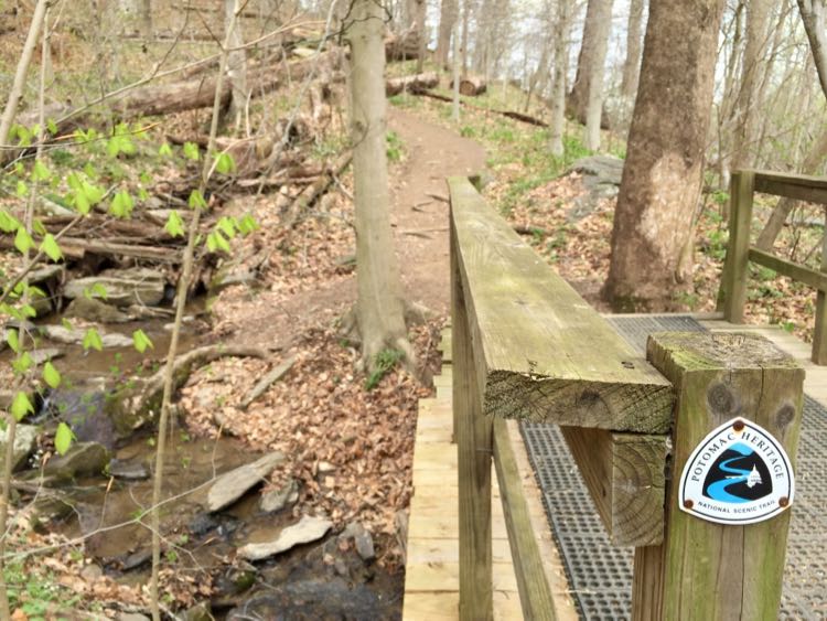
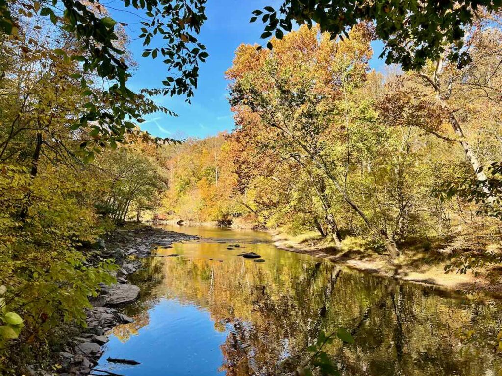
2. Potomac Heritage National Scenic Trail
The Potomac Heritage National Scenic Trail (PHT) is a network of trails extending over 800 miles through Pennsylvania, Maryland, Virginia, and Washington DC. Northern Virginia contributes much of its Potomac Riverfront to the PHT. Several PHT hikes make my list of the best hikes in Northern Virginia.
- Seneca Regional Park borders the Potomac River in Northern Fairfax County. Woodland trails in the park lead to the river and a segment of the historic Patowmack Canal, spearheaded by George Washington.
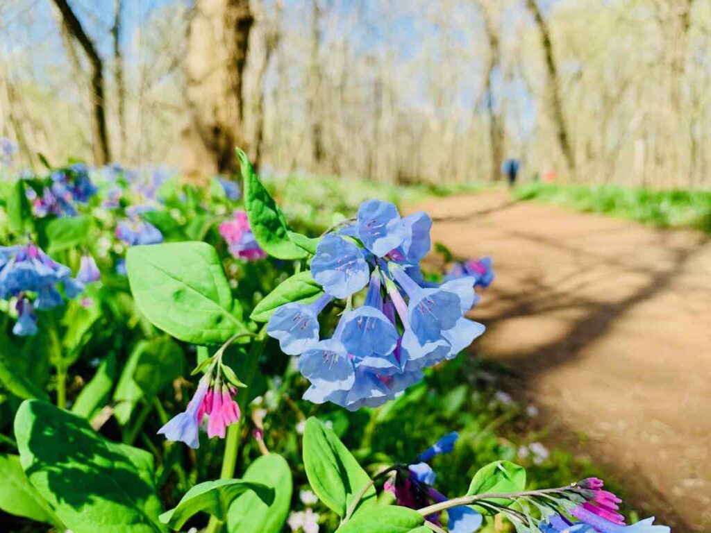
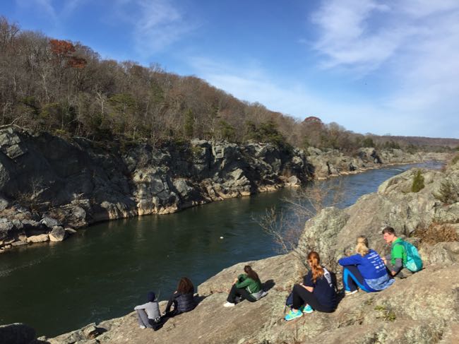
- The mostly flat trail north from the Riverbend Park Visitor Center is especially beautiful when bluebells and other spring wildflowers are in bloom. Head south from the center for a rockier, but easy hike to Great Falls Park.
- The PHT follows the River Trail through Great Falls Park with incredible views of the falls and Mather Gorge.
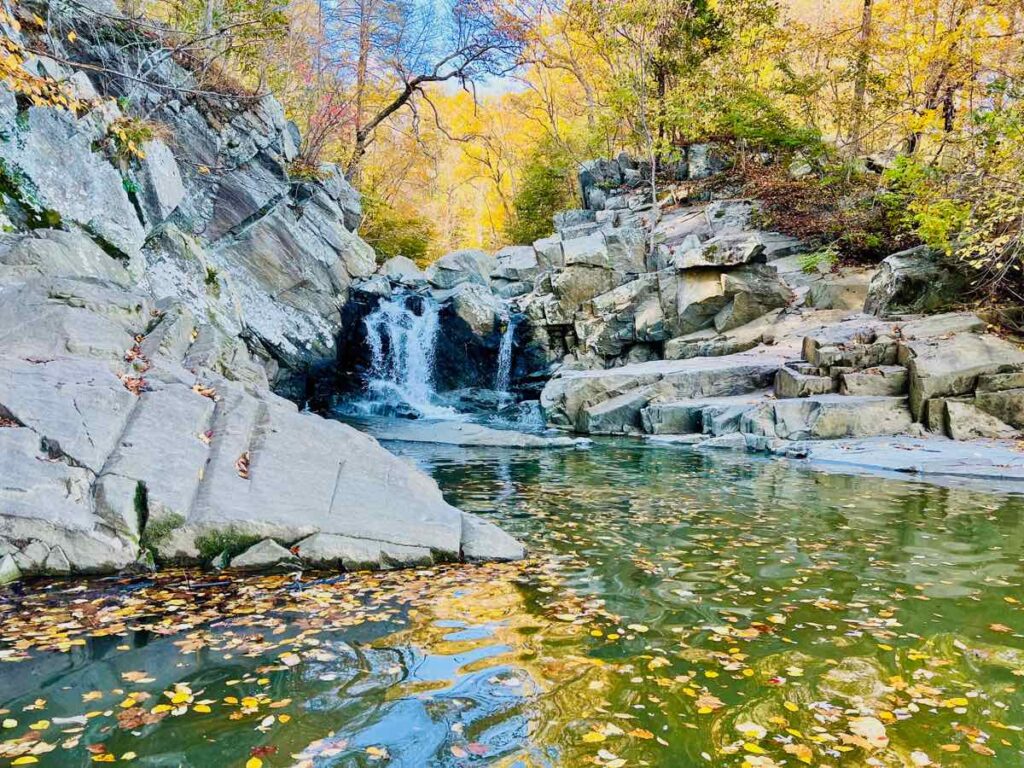
- Scotts Run Nature Preserve is popular for a short hike to a nice waterfall, but it also includes a pretty and moderately challenging section of the PHT.
- Turkey Run and Potomac Overlook Parks both include trails that connect to the PHT and beautiful river views close to DC.
- An easy section of the PHT heads north from Theodore Roosevelt Island to a small, rocky waterfall at Windy Run.
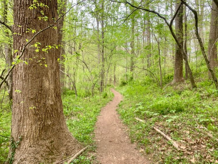
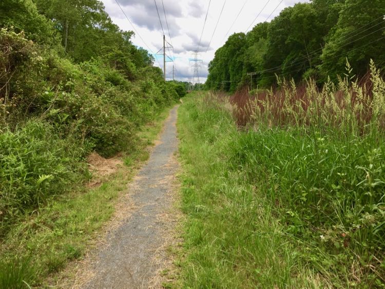
3. Gerry Connolly Cross County Trail
The Gerry Connolly Cross County Trail, also known as the Fairfax CCT, is an amazing achievement for a well-populated area like Fairfax County. Over 40 miles long, it crosses the entire county, from the Potomac River south to the Occoquan River.
On its journey, the CCT passes through many of Fairfax County’s best parks. I have hiked all 40 miles of the CCT and my favorite segment follows Difficult Run to the Potomac River.
4. Bull Run – Occoquan Trail
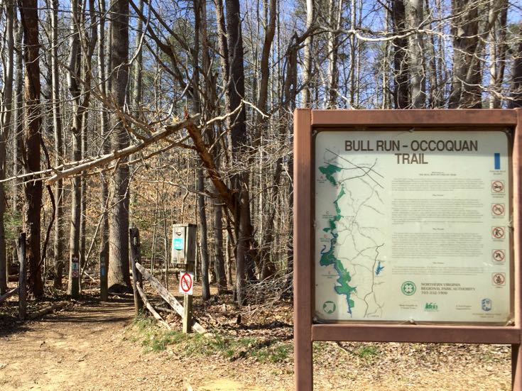
The Bull Run – Occoquan Trail (BROT) follows the Bull Run Stream Valley and Occoquan Reservoir along the western edge of Fairfax County. The trail is 18 miles long, and borders the Occoquan watershed from Bull Run Regional Park in the north to Fountainhead Regional Park in the south.
The BROT, a gem in the NOVA Parks collection, offers nature and history as it meanders through woodlands, fields, and along the water’s edge. I have hiked the whole Bull Run Occoquan Trail and enjoyed every section. The waterside sections are easy but there are some steep hills once you enter the woods.
For an easy hike next to Bull Run, join the trail in the quaint town of Clifton. Head in either direction to enjoy the trail as it hugs the stream then traverses the woods. At the southern end, the hike from Fountainhead Regional Park to Bull Run Marina is a nice hilly, wooded segment of the trail. Fountainhead Park is also an excellent spot for mountain biking in Northern Virginia.
In April, the Northern Bull Run Occoquan Trail is one of the best places to see Virginia bluebells in bloom. Part of the trail overlaps with the popular Virginia Bluebell loop hike.
Epic Virginia Trails To Bike (or Hike)
The next 4 epic Virginia trails on our list offer paved or stonedust surfaces that are great for biking or hiking.
5. Mount Vernon Trail
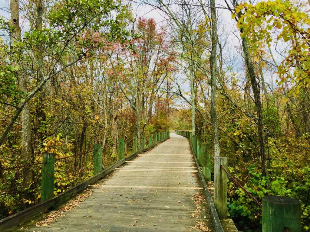
The popular Mount Vernon Trail includes 18 miles of paved trail from Theodore Roosevelt Island south to George Washington’s Mount Vernon. Most of the trail is dedicated, but there is a street segment through downtown Alexandria. The trail is narrow and extremely popular with bikers, so pedestrians and runners need to be careful.
Most of the Mount Vernon Trail is level, with great views of the river and DC, but the southernmost mile is a steady climb. There’s a beautiful boardwalk section heading south over Dyke Marsh from Belle Haven.
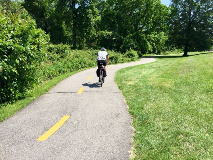
6. Washington & Old Dominion Railroad Regional Park
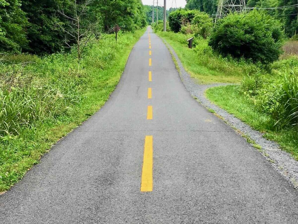
The Washington and Old Dominion Regional Park, aka the W&OD bike trail, is the longest and skinniest park in Virginia. The rails-to-trails conversion covers 40 miles from the small town of Purcellville to Arlington Virginia and the edge of the nation’s capital.
There are many nice segments along the W&OD Trail, though it can get very busy on a warm weekend. For walking, I like the 3-mile stretch south from Hunter Mill Road to Vienna. The mostly level trail passes Difficult Run and the Meadowlark Connector Trail and does not include any road crossings until you reach the town of Vienna. You can reward your efforts with a craft brew and meal at Caboose Brewing Company, which sits right next to the trail.
Unless the ground is soaked, hikers can avoid passing bikes by using the parallel, dirt and stone dust bridle trail.
The W&OD Trail is also scenic and quieter closer to its western end in Loudoun County. I like to access the trail from the historic train station in Purcellville or in Paeonian Springs.
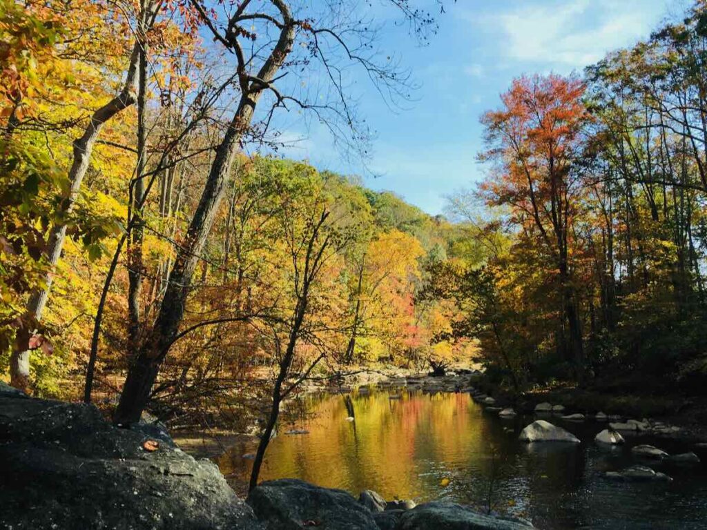
7. Chesapeake & Ohio Canal National Historic Park (Maryland)
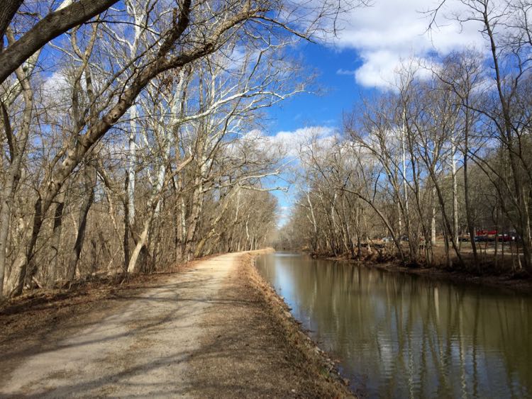
The C & O Canal is not in Virginia, but it’s on our list because the Maryland segments include excellent trails and beautiful views across the Potomac to Virginia. The historic Chesapeake and Ohio Canal follows the Potomac River for 184.5 miles, all the way from Georgetown to Cumberland, Maryland.
Head to Great Falls Tavern for a half-mile walk on the boardwalks and bridges of Olmstead Island to a lovely view of the Great Falls of the Potomac.
For a more challenging hike full of rock scrambles and incredible views, hikers flock to the Billy Goat Trail. Bikers can ride on the hard-packed dirt trail that borders the canal, enjoying the shady path and views of the river.
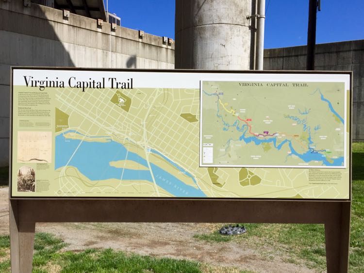
8. Virginia Capital Trail
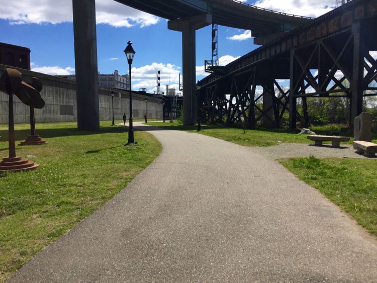
One of the newer bike trails in Virginia traverses 52 miles of dedicated, paved trail from Richmond to Jamestown along the Route 5 corridor. Richmond is Virginia’s current capital, and Jamestown was its first, so the trail is well named.
You’ll find the Virginia Capital Trail in Richmond just outside the floodwall in Shockoe Bottom, officially mile marker 51.2 and the end of the trail. I look forward to biking this historic stretch of Virginia one day.
Plan your visit: Fun Things to Do in Richmond VA on a Getaway to Virginia’s Capital City
Whichever epic Virginia trails you choose to explore, please be alert, careful, and courteous as you share the trail. Happy hiking and biking!
Find more great hikes in our complete list: Northern Virginia Hikes and Favorite Bike Trails Near DC or browse our Hike and Bike collection.
Follow Fun in Fairfax VA on Facebook | Pinterest | Instagram