Updated on April 6, 2024 by Julie McCool
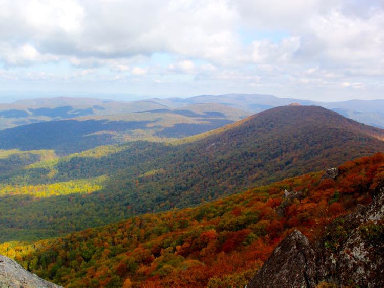
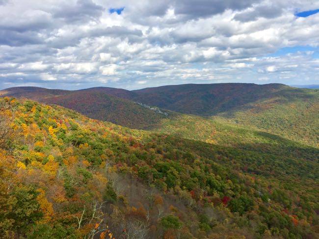
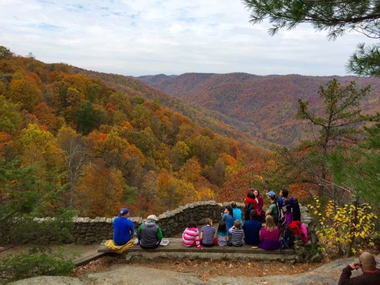
These fun short hikes lead to overlooks with gorgeous Virginia views, from easy walks near DC to more challenging climbs in the Blue Ridge Mountains. The short hikes on our list are 1 to 3 miles long, and you can extend most of them for a longer outing.
Hikes are listed in order of relative difficulty. Follow the links for details on the hike and how to reach the viewpoint. We've also included our subjective, casual hiker's view of each trail's difficulty; your mileage may vary.
Disclosure: This article may contain affiliate links. We will make a small commission from these links if you order something, at no additional cost to you.
Find more great trails in our full list of hike and bike trails in Northern Virginia.
Bear's Den Overlook, Bluemont
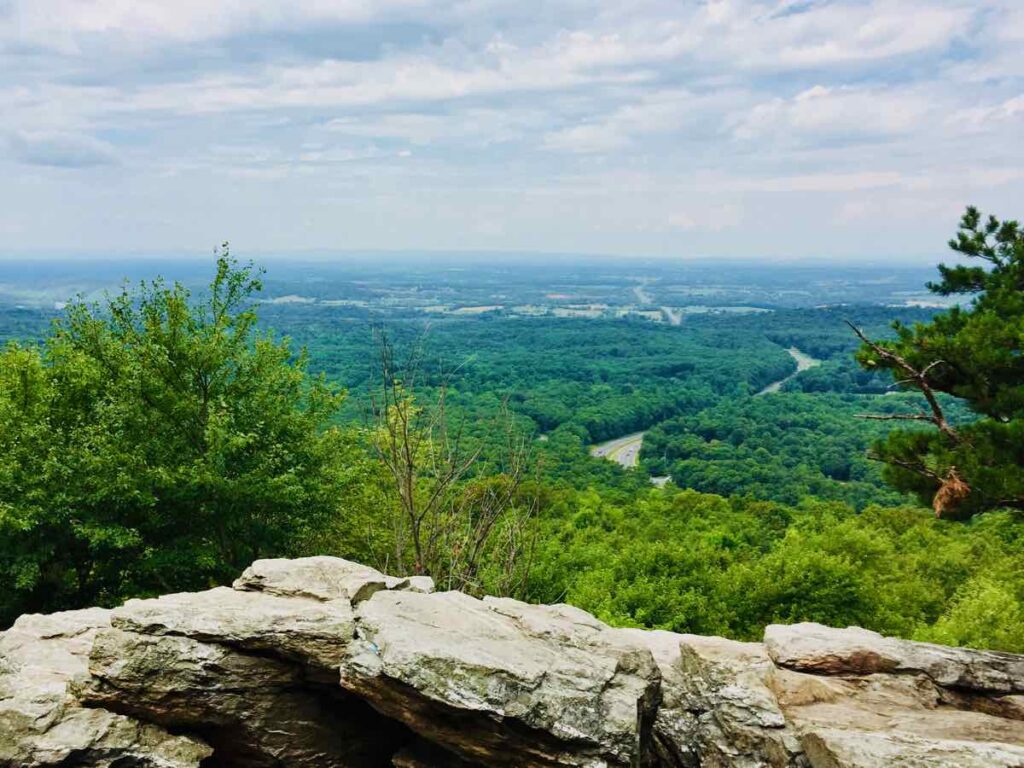
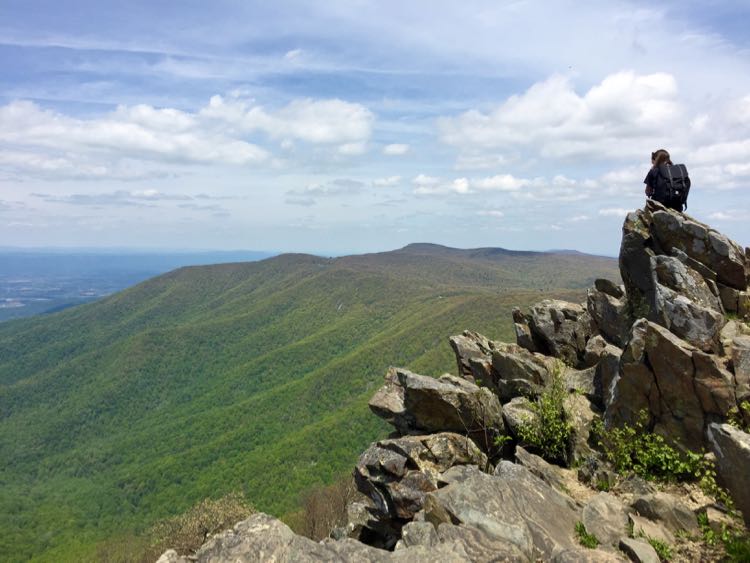
Bear's Den Overlook is one of the most popular short hikes in Northern Virginia. The spectacular view is reached on a short, easy hike up the Appalachian Trail. Start at the Snicker's Gap Parking Area on Route 7 and follow the AT .5 miles uphill to the rocky outcropping. The elevation change offers a little workout but is not difficult.
An even easier route begins at the Day Use parking area near the Bear's Den Hostel. The walk from the lot to the overlook is short and less steep than the climb on the AT. There is a $3 fee to park in the Day Use lot so bring cash.
The overlook is a popular spot for kids to play on the rocks and hikers to relax with a picnic. This is also one of the best places to watch the sunset in Northern Virginia. After your hike, explore more of the fun things to do in Bluemont including 2 breweries and 2 wineries with more spectacular views.
Plan your hike: Bears Den Overlook Hike in Bluemont Virginia: Alternate Routes and Tips.
Huntley Meadows Park Observation Tower, Alexandria
The views are more modest from the Observation Tower at Huntley Meadows Park, but the hemi-marsh habitat is so unique and fun to reach that we had to include it. Huntley Meadows offers a beautiful wheelchair-accessible boardwalk. The bottom level of the Observation Tower is also accessible.
Huntley Meadows is a favorite for birders, photographers, families, and anyone looking to escape the city without a long drive. Visitors reach the Observation Tower on a 1/2-mile boardwalk over the marsh. Along the walk, you can watch birds, amphibians, and other wildlife. This is an easy, accessible hike about 12 miles from DC.
Explore more: 6 Beautiful Boardwalk Hikes in Northern Virginia.
Overlooks and Mather Gorge, Great Falls Park
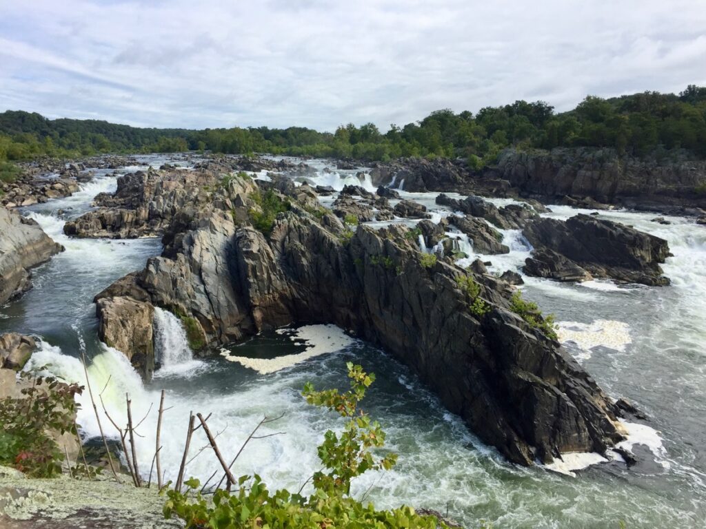
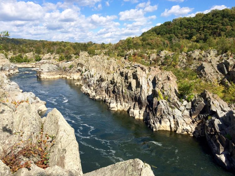
Virginia’s Great Falls Park is one of our favorite places to impress out-of-town guests. But it’s also a great solo hike on a quiet weekday. The popular River Trail follows the Potomac River east of the falls and is the best way to enjoy views of Mather Gorge.
Take a short walk from the Visitor Center to three overlooks with close-up views of the river cascading over the rocks. Overlooks 2 and 3 are accessible but overlook 1 is very rocky. Continue past Overlook 3 and follow the River Trail to views of Mather Gorge.
Carefully explore the rocks overlooking the river for beautiful views, but keep a close eye on any youngsters. Eventually, you’ll come to a plaque and a terrific view up and down Mather Gorge. Return on the River or Mathildaville trail or, for a longer hike, continue on the River Trail until you reach the view from Cow Hoof Rock (see below).
The short hike to the Mather Gorge Overlook is about .5 miles from the Visitor Center. The trail is easy but rocky. Great Falls Park is about 20 miles from DC.
Stubblefield Overlook, Scott's Run Nature Preserve
Scott's Run Nature Preserve is a popular stop for joggers, hikers, dog walkers, and families looking for a pretty waterfall close to DC. Most people head straight to the waterfall, but we prefer a longer route that includes this pretty view.
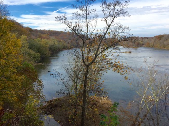
To reach the Stubblefield Overlook, we recommend a roughly 3-mile loop that starts at the eastern parking lot. The loop follows part of the Potomac Heritage Trail to the overlook. From here, Stubblefield Falls, a class III rapid rather than a traditional waterfall, stretches across the Potomac. You’ll have an excellent view up and down the Potomac, though portions are blocked with foliage except in winter.
This is a nice spot for a lunch or snack stop before continuing on the PHT to the popular Scott's Run waterfall. This is a moderately difficult hike, and Scott's Run Nature Preserve is about 15 miles from DC.
Cow Hoof Rock, Great Falls Park
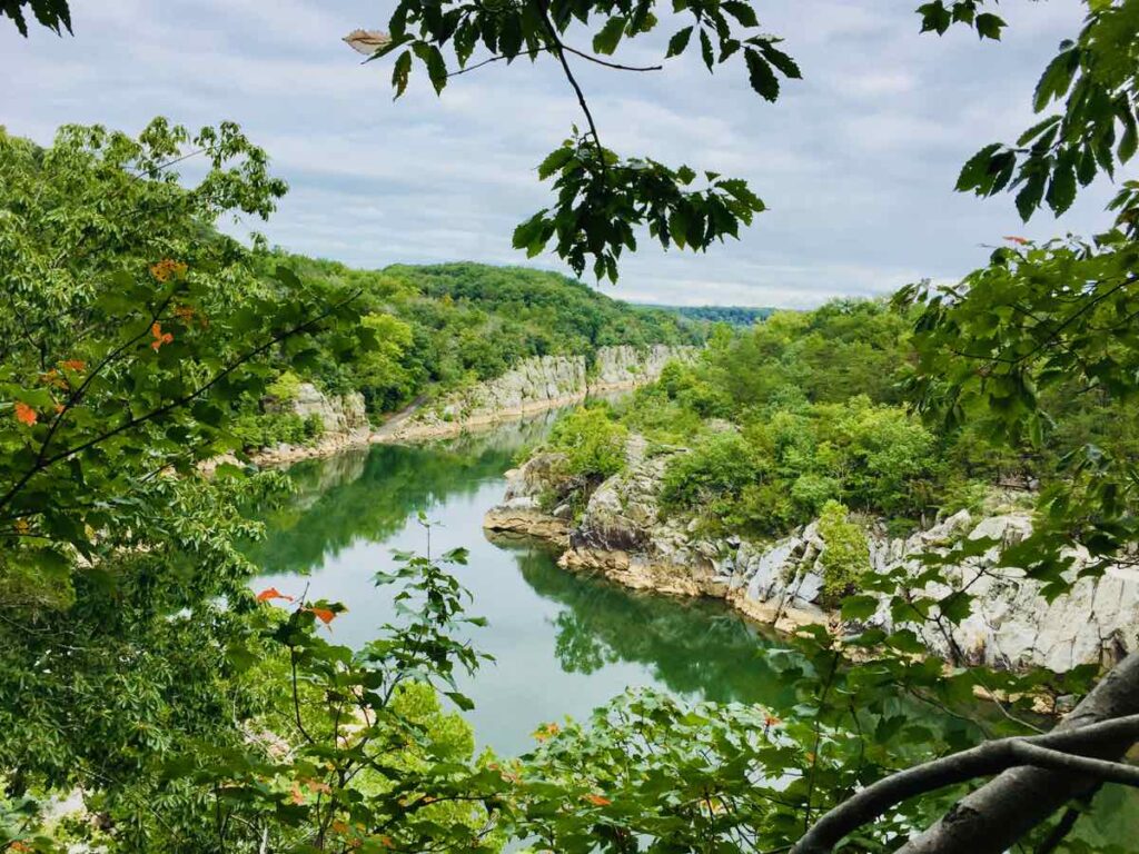
Cow Hoof Rock and a nearby outcropping give you a beautiful up-river view of Mather Gorge and the Potomac River. Our favorite way to reach the viewpoint is on a 3-mile Great Falls hike. The route follows Difficult Run, climbs to a ridge, then descends to the Potomac River, on shady dirt trails.
Cow Hoof Rock makes a perfect stop for a picnic. From this height, you can see up the river to the steep walls of Mather Gorge. Across the Potomac is Maryland's Billy Goat Trail and you may see kayakers and SUPs passing far below you.
The hike to Cow Hoof Rock is steep and challenging in parts, but most of the trail is an easy walk. The Difficult Run trailhead is about 18 miles from DC.
Freestone Point, Leesylvania State Park
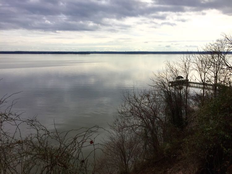
At Leesylvanie State Park, the 2-mile Lee’s Woods Trail climbs a historic bluff to beautiful views of the Potomac River. From the overlook, you can also see Neabsco Creek and the park's fishing pier.
Freestone Point was the site of a Confederate gun emplacement during the Civil War. The 32-pound cannons positioned here were part of a series of batteries that blockaded the Potomac for five months. As you hike, you'll hear the whistle of trains passing over the bridges and tracks that bisect the park; a fitting echo of the site’s history.
This is a mostly easy hike over dirt paths but it has a few steep, short hills. Leesylvania State Park is about 30 miles from DC.
Piedmont Overlook, Sky Meadows State Park Delaplane
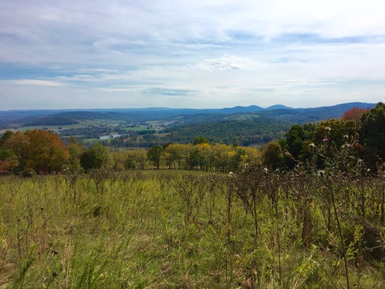
Sky Meadows State Park offers spectacular views across the Virginia Piedmont to the south and east. Our recommended route crosses open fields, moderately challenging hills, and wooded segments to the Piedmont Overlook viewpoint.
The Piedmont Overlook has several benches where you can enjoy a rest or a picnic as you soak in the view across Crooked Run Valley. Below you can see the park's Historic Area, and far to the east are the taller buildings near Dulles Airport and beyond.
The 4-mile hike is moderately challenging due to the hilly, sometimes rocky terrain. You can also reach the viewpoint on a shorter, but steeper, trail. Sky Meadows State Park is 62 miles from DC.
Short Hikes to Viewpoints in Shenandoah National Park
Here are some of the best short hikes to viewpoints and overlooks in Shenandoah National Park. Plan your visit with our guide, Shenandoah National Park Day Trip Planner: Things to Do in the Central District.
Little Stony Man, Shenandoah National Park mile 39
Plan your trip with our guide Stony Man Trail Hikes to Beautiful Shenandoah Views.
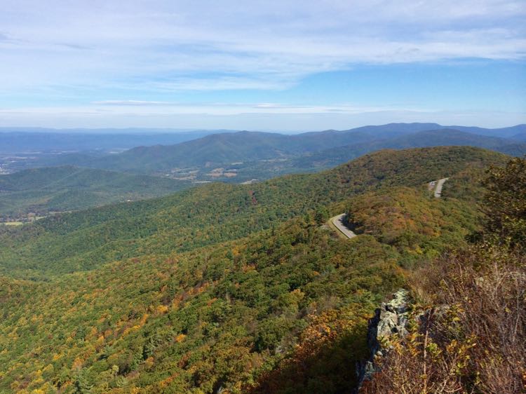
The Little Stony Man Overlook hike is only .9 miles roundtrip from the parking area at mile 39.1. The hike follows a steep, rocky section of the Appalachian Trail to a gorgeous rocky viewpoint. To your right, you can see glimpses of Skyline Drive winding along the ridge. Straight ahead is the town of Luray. In the distance are the ridges of Massanutten Mountain divided by the New Market Gap.
The Little Stony Man parking lot is in Shenandoah National Park Central District, about 90 miles from DC.
Stony Man, Shenandoah National Park mile 41.7
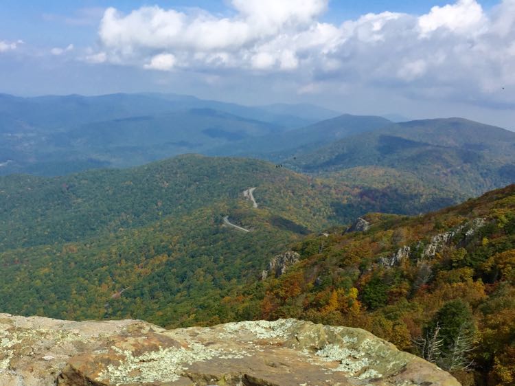
Two miles further south on Skyline Drive, just inside the northern entrance to Skyland, is the trailhead for Stony Man Summit. The trail to Stony Man summit is one of the most popular short hikes in Shenandoah National Park, so try to visit on a weekday. From the parking lot, it’s a fairly easy 1.6-mile round-trip to the panoramic views from Stony Man. Even though the hike is longer than Little Stony Man, the path is less steep so it’s actually an easier walk.
The rocky outcropping at the top of Stony Man offers glimpses of the drive to the north, Skyland Resort to the west, and the ridge continuing to the south. The Stony Man parking lot is in Shenandoah National Park, about 92 miles from DC.
The Pinnacle and Mary's Rock, Shenandoah National Park
Mary's Rock is a popular destination for Shenandoah National Park hikers. The rocky viewpoint offers incredible, nearly 360-degree views from the granite outcropping. The shortest and most popular route to Mary's Rock is a steep trail from the Panorama parking area (3.7 miles roundtrip). We prefer a longer route that adds another viewpoint.
Our suggested Mary’s Rock hike begins at the Jewell Hollow parking lot. After about 1 mile of hiking, you reach the first viewpoint from The Pinnacles. The long ridge to Mary's Rock is backed by layers of beautiful Blue Ridge mountains. The view is especially dramatic when fall foliage colors Shenandoah.
If you're up for a longer journey, continue another 2.25 miles to Mary's Rock. This out and back hike follows the Appalachian Trail over more challenging, rocky terrain, with about 700 feet of elevation gain. The Jewell Hollow parking area in Shenandoah National Park is about 94 miles from DC.
Hawksbill Summit, Shenandoah National Park
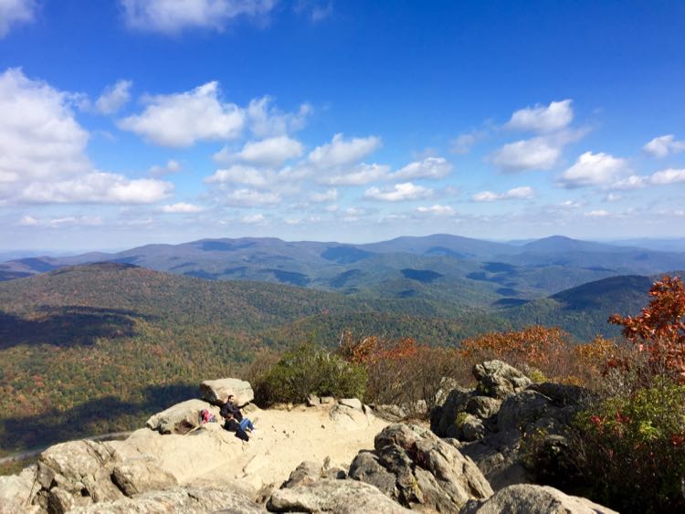
The highest point in Shenandoah National Park, Hawksbill Summit is reached on a fairly easy round-trip hike. The hike follows a nice wooded trail for the first 2/3s of the distance. Then the trail turns steeply uphill on a dirt road to the summit. Explore the rocky summit to enjoy views in nearly every direction.
This is a fairly easy hike except for the steep hill. Begin at the Upper Hawksbill parking area in Shenandoah National Park, about 99 miles from DC.
Big Schloss Summit, Capon, West Virginia
This hike along the Virginia/West Virginia border leads to amazing, 360-degree views from the summit of Big Schloss Mountain. It’s a steep climb at the start, but the panoramic payoff is well worth the effort.
The Big Schloss hike begins at Wolf Gap Campground and follows the Mill Mountain Trail. The first mile of the hike is very steep, but the second mile is easier as it follows the ridge. Watch for the marker where you'll turn onto the quarter-mile spur trail to the summit. Views from the exposed rocky summit are spectacular, especially in the fall.
Though it is not technically difficult, we consider this is a challenging hike because of the steep climb. The trailhead is in the Wolf Gap Recreation Area, about 107 miles from DC.
Humpback Rocks, Blue Ridge Parkway mile 6
Daughter of Fun in Fairfax Va joined a sunset photography trip to Humpback Rocks and shared this gorgeous photo with us. Humpback Rocks is one of the best places to watch the sunset in Northern Virginia, so it's a popular hike. The trail is a steep, steady .8 mile climb to the rocky viewpoint. Not technically difficult, but a demanding hike due to the steepness of the trail.
This is a very popular hike from the Charlottesville area, so expect to see other hikers during your visit. The out-and-back hike is just under 2 miles, and the Humpback Rocks trailhead is about 145 miles from DC.
Crabtree Falls, Montebello
This viewpoint looks out over Tye River Gorge, but the hike is more popular for the gorgeous waterfall views as the trail climbs along Crabtree Falls. Crabtree is the longest vertical cascade in the East. The series of several waterfalls cascade a total of 1200 feet and are visible throughout the hike.
From the lower parking lot, it's a steadily uphill but not too challenging 1.8-mile climb to the top of the falls. There are several viewpoints of the cascades along the way, broken up by sections of stairs and dirt switchbacks. While the hike is well worth the effort, it is a very popular destination, so avoid weekends if you can.
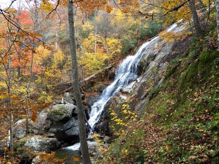
This is one of our favorite fall hikes in Virginia when colorful foliage surrounds the cascades throughout the hike. The Crabtree Falls trailhead is about 185 miles from DC.
BONUS: Arlington House, Arlington National Cemetery
It may seem odd to think of Arlington National Cemetery as a hiking destination. But the streets of the cemetery offer beauty, history, and a spectacular view of Washington DC. Arlington is a special place, solemn and heart-breaking, but beautiful and inspiring too.
Head to Arlington House and the Pierre L'Enfant gravesite for a gorgeous view of Washington DC. To reach the overlook, walk straight up McLellan Drive and right on the Crook Walk, or follow a more wandering route on the paved paths and streets. Hike length and difficulty will vary depending on your route, but the steep hill makes it at least moderately challenging. Arlington House and the National Cemetery is just across the Potomac River from DC.
Find more great hikes in our complete list: Northern Virginia Hikes and Favorite Bike Trails Near DC or browse our Hike and Bike collection.
Follow Fun in Fairfax VA on Facebook | Pinterest | Instagram | Threads | Twitter
