Updated on August 22, 2024 by Julie McCool
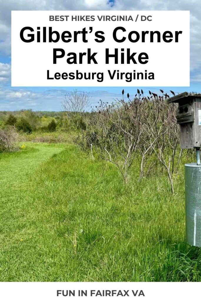
Enjoy an easy and scenic Gilberts Corner Park hike through meadows and streamside woods in historic Leesburg Virginia. The 1.7-mile hike follows dirt and mowed trails through the 156-acre Gilbert’s Corner Regional Park. We saw lots of birds and wildflowers on our hike along with beautiful views of the Blue Ridge Mountains.
The Gilberts Corner trail wouldn’t make our list of the best hikes in Northern Virginia, but it’s a pretty walk and worth a visit. We’ve driven by this park for years and even stopped to read the park’s historic markers. We finally stopped to enjoy a hike through the park on a beautiful April day.
Gilberts Corner Park Hike
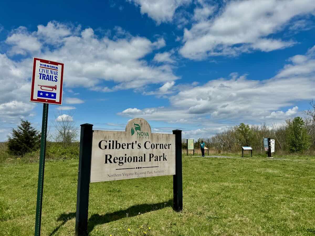
Our hiking route includes short loops at each end of the park and a connecting trail. The hike begins at the Gilberts Corner Regional Park parking area. There are spaces for several cars including one accessible space. Informational signs share a little history of the area (more on that below).
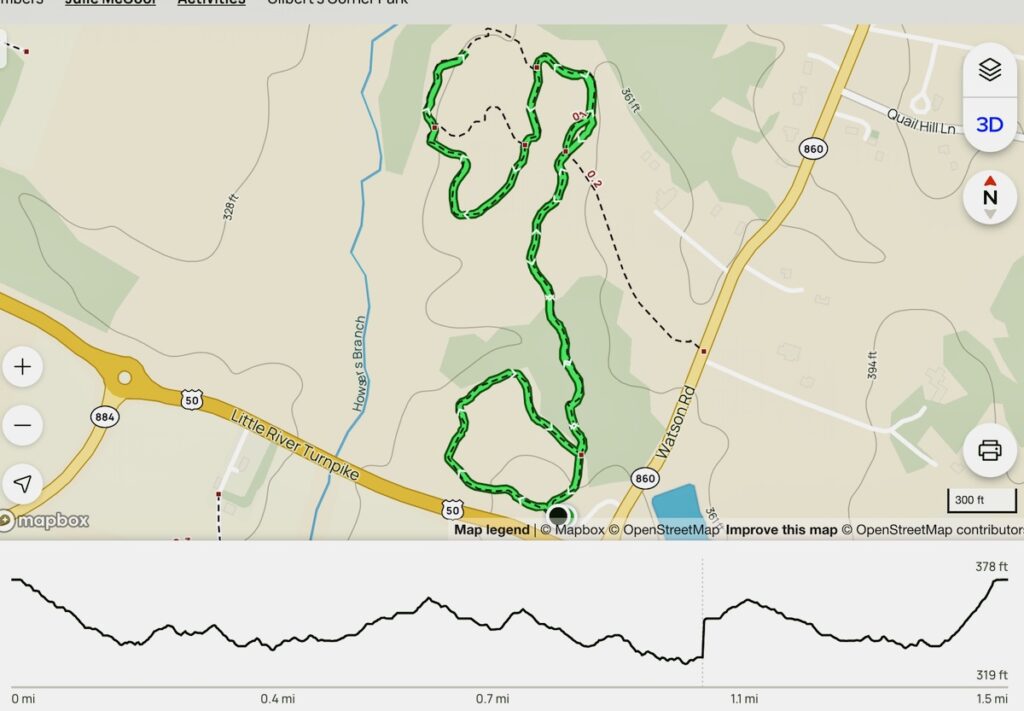
We walked clockwise for both loops of the hike, turning left at any trail junctions. (We lost cell service at one point creating the small gap on the 2nd loop in the map above.) As you can see, there is little elevation gain as you walk the gently rolling hills.
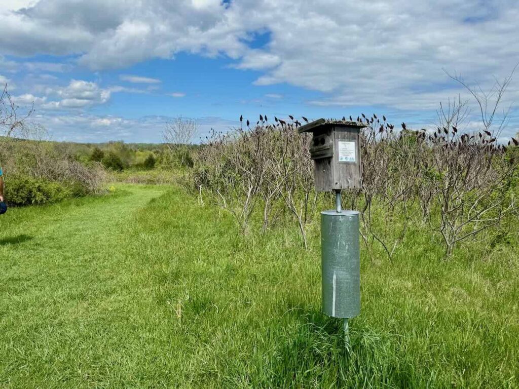
To follow our route, head straight ahead behind the informational signs onto the Eliza Davis Bluebird Trail. Eliza Davis lived on this land with her husband and daughter during the Civil War and you can read more about her below.
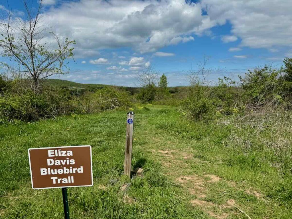
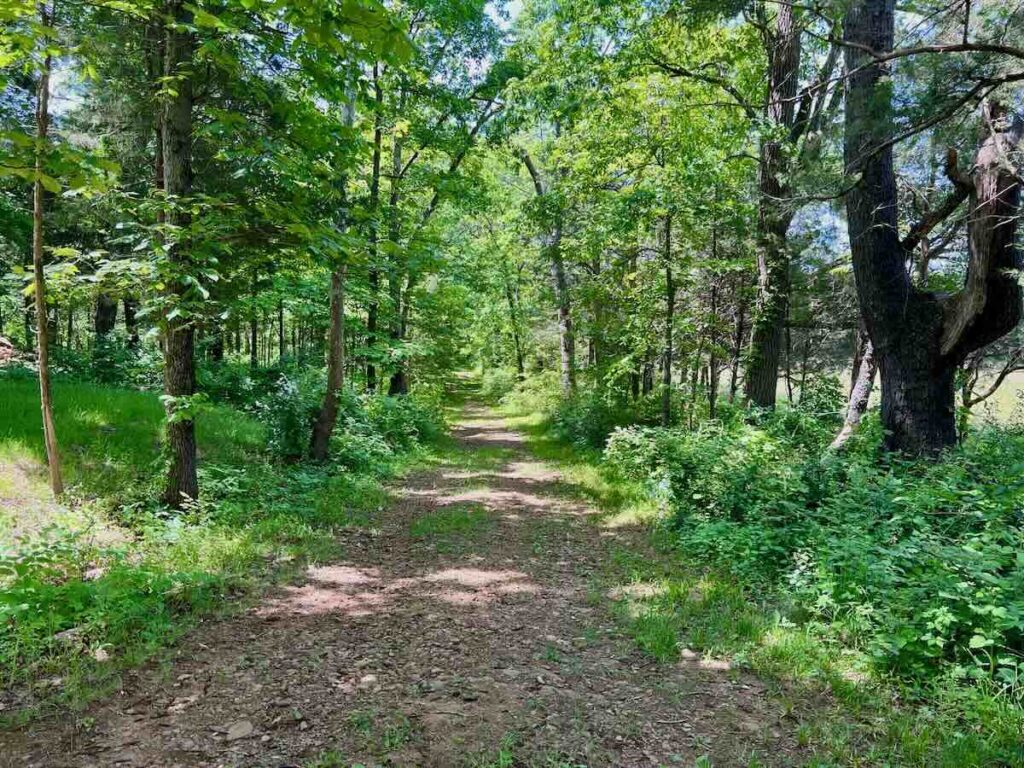
The mowed trail descends gradually as it loops through the meadow. Watch for wildflowers surrounding the path and birds darting among the trees. The Loudoun Wildlife Conservancy maintains several bluebird nesting boxes along the trail. We paused a little too close to one of the boxes and a protective parent swooped at our heads, ensuring that we move along.
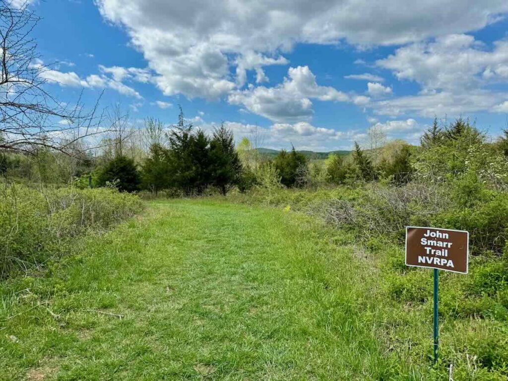
When you reach a junction, turn left on the John Smarr Trail. The trail enters a wooded area, crossing a small stream before reemerging in the meadow. Pretty patches of Spring Beauty and Goldenrod wildflowers bordered the trail in late April. Muddy patches in this area could be a problem after rainstorms.
Soon you’ll reach the Chestnut Orchard Trail and the second loop. On your right is a small chestnut orchard that was part of the American Chestnut Foundation’s efforts to return the trees to their native range. Stay left at the junction to continue clockwise around the loop.
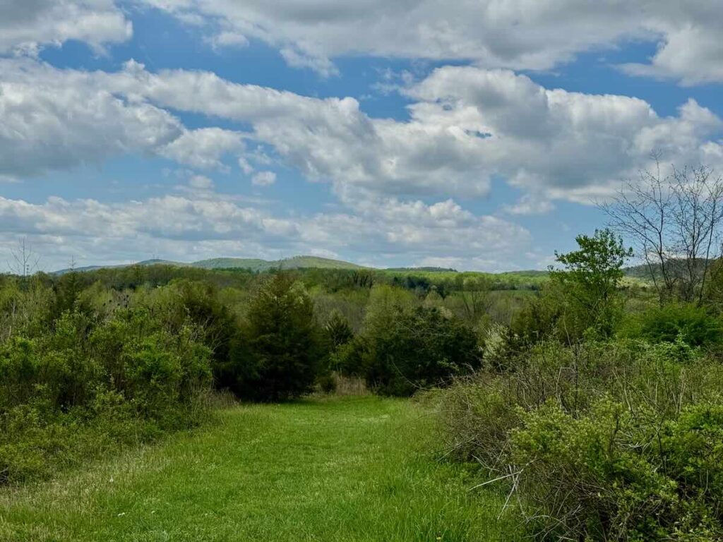
Pause to take in the beautiful view west to the Blue Ridge Mountains. Once you complete the loop, follow the trail straight back .8 miles to the parking area.
Gilberts Corner Regional Park Tips and Info
Gilbert’s Corner Regional Park is located at 23557 Watson Road in Leesburg Virginia. The park is free and is open from dawn to dusk. There is a small free parking area with informational signs but there are no restrooms or other facilities. Visit the NOVA Parks website for the latest alerts and event news.
The weather for our Gilberts Corner Park hike was ideal but could be a factor when your visit. Much of the hike is through open meadows which could be uncomfortably hot and buggy in the summer. Ticks can also be prevalent in the fields so do a thorough tick check after your hike.
Two streams flow through the park, creating damp and muddy areas even during dry seasons. Parts of the trail will likely be very muddy after rainy weather.
There is a single accessible parking space and a paved path to the interpretive signs but trails at Gilberts Corner Park are not wheelchair accessible. This is a kid-friendly hike, but uneven ground, muddy areas, and hills make this a poor choice for strollers. Leashed dogs are welcome.
History at Gilbert’s Corner
If you’ve lived in Northern Virginia long (we’ve been here 30 years) you have probably driven through the Gilbert’s Corner area. Two important and historic roads—Little River Turnpike (Route 50) and Monroe-Madison Memorial Highway (Route 15)—intersect here.
Today the roads carry commuter and visitor traffic through Loudoun County. But in the 18th and 19th centuries, this was a major north-south route from Maryland to the North Carolina border. The Old Carolina Road passed through the Gilbert’s Corner Regional Park land but fell out of use when Route 15 was built a little further west.
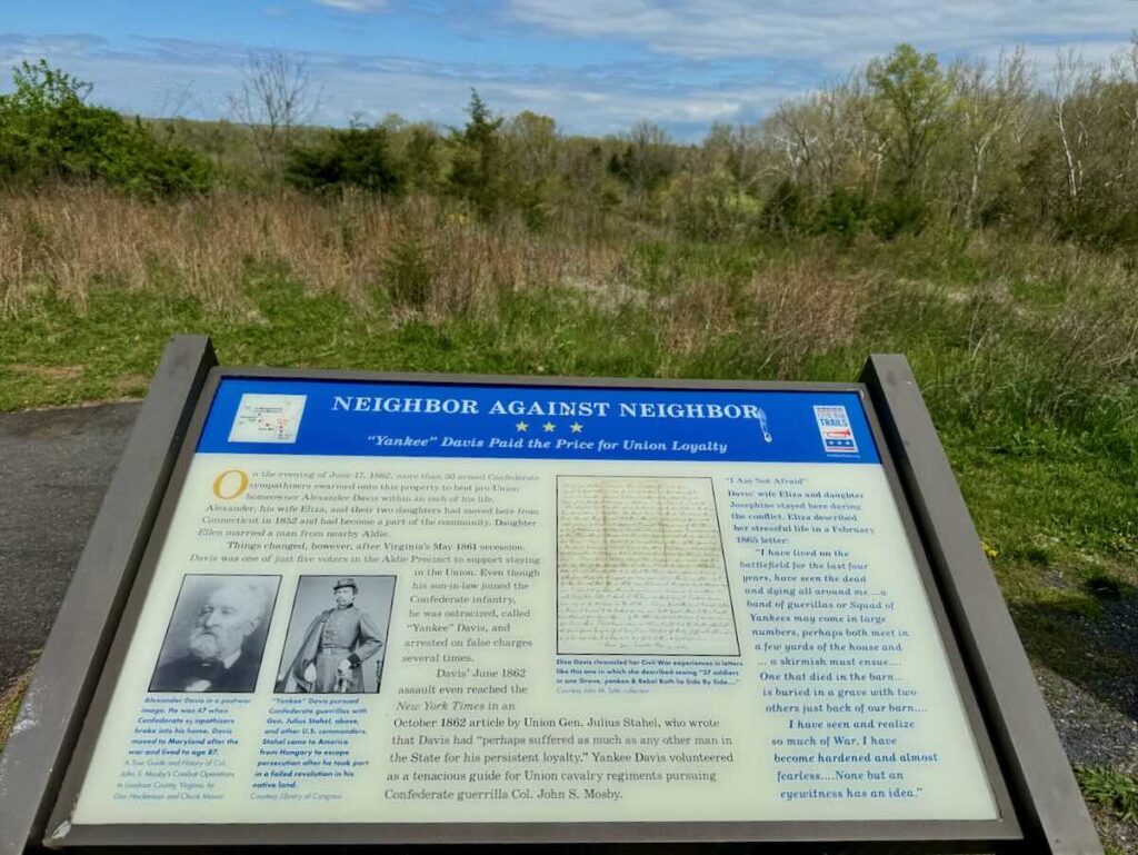
During the Civil War, Alexander Davis lived here with his wife Eliza and daughter Josephine. Davis came from Connecticut and was one of the few Aldie residents to vote against Viginia’s succession. His Union sympathies earned him the nickname “Yankee” Davis” and he was attacked and beaten by his neighbors. Davis responded by assisting the Union as a cavalry guide throughout the war.
Things to Do Near Gilbert’s Corner Regional Park
On the other side of the Route 50 traffic circle is another historic site managed by NOVA Parks. The Mt. Zion Historic Park preserves a historic cemetery and the Mt Zion Old School Baptist Church. During the Civil War, the church was used as a meeting point, field hospital, and jail. Behind the cemetery, visitors can hike a portion of the Old Carolina Road we described above.
The Aldie Mill Historic Park, another NOVA Park, is just two miles west on Route 50. The mill is open for tours on weekends between April and November.
Less than a mile west at the Route 15-50 intersection is the Gilbert’s Corner Farmers Market, which opens on Saturdays and Sundays. The market is one of the best places to get lobster rolls in Northern Virginia, a fitting reward for your effort.
There is seasonal strawberry picking here most years in June. The corner gets its name from the William Gilbert family who operated a gas station and restaurant here until the 1980s.
There are two great craft breweries very close by. Head south on 15 to reach Lark Brewing Company, one of the newest breweries on the LoCo Ale Trail. We’re fans of the Goodpuppy Lager and the Lagotto Flatbread at this family and dog-friendly brewery. Or drive north on Route 15 to visit Quattro Goombas, which combines a farm brewery, winery, and pizza kitchen.
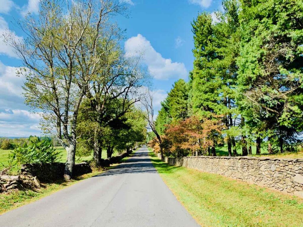
Two of our favorite Northern Virginia scenic drives pass through or near Gilbert’s Corner. Continue west on Route 50 for a Hunt Country Scenic Drive to Middleburg and other quaint towns and country roads. Or drive into Aldie then head north on the historic Snickersville Turnpike to the beautiful towns of Bluemont and Purcelville.
Whether your goal is a short hike or a longer day trip, we wish you happy hiking in Loudoun County. You’ll find more great trails in our big list of 70+ Northern Virginia hikes.
Follow Fun in Fairfax VA on Facebook | Pinterest | Instagram